
Norton Shores Neighbors by Block
Public sources describe land, public decisions, and dated community context around a Norton Shores address. The Muskegon County GIS Property Viewer is the starting point for adjoining parcel geometry. BS&A adds assessment context. Plat and easement layers explain a block’s lot pattern or shared access. Historical directories and newspapers add a dated layer, not a current roster.
| Source | What It Shows About a Block | Access |
|---|---|---|
| GIS Property Viewer | Touching parcel geometry, PIN, situs, owner and mailing fields | Online map |
| GIS plat and easement layers | Lots, common areas, rights-of-way, and subdivision context | Map layers |
| BS&A Online | Assessment and tax context by address, name, or parcel number | Online portal |
| City clerk records | Dated minutes, resolutions, licenses, and registrations | City record route |
| Local history sources | Earlier place and address context | Library and archives |
Recorded ownership, a care-of line, and a mailing address are separate fields. None proves who occupies a property, and touching parcels make geographic neighbors, not social relationships.
Use the sources in sequence rather than treating any one of them as a complete answer. The map identifies the subject and adjacent parcels. Assessment records provide a separate property role. Clerk files or local-history material can add a date and a civic or historical setting. That ordering keeps a block question grounded in the record that actually supports it.
Norton Shores Neighbor Parcel Fields
The GIS parcel service provides a useful field-level check when neighboring lots look similar on the map. Its parcel layer distinguishes PIN and county PIN, property-address components, owner-name fields, owner care-of and mailing fields, assessed, state-equalized, and taxable values, homestead percentage, class, school district, zoning, and tax description. A parcel’s situs is its property location; its owner mailing address can be somewhere else.
The parcel-layer service supports geometry and distance queries, but no visible viewer radius control was captured. Use the viewer’s parcel selection and the documented service fields rather than promising a map button that was not observed. Values and classifications describe a parcel for assessment purposes, not a household.
- PIN
- A parcel identification number used to connect county property records.
- Situs address
- The physical property address shown by a record source.
- Mailing role
- An address used for correspondence, which may differ from the situs.
Norton Shores Neighbors Parcel Flow
Keep a repeatable record trail for every block question. Begin with the subject parcel, then separate map facts from names and historical context. The process protects against a common error: copying a nearby owner’s mailing address into an address field or assuming that the parcel next door is part of the same development.
- Find the subject address in the GIS Property Viewer and copy the displayed parcel or PIN and situs address.
- Select parcels that physically touch it, then note each parcel’s geometry and record role separately.
- Read the plat, easement, and right-of-way layers before treating a narrow strip, road, or common area as a neighbor parcel.
- Compare a needed parcel with BS&A, retaining the source date and separating owner, mailing, and situs fields.
- Use a dated directory, map, or city record only for the historical question it supports.
For a full named-street chain rather than the immediate block, use the Norton Shores Street Directory.
Norton Shores Block Street Layers
Plat, easement, and public right-of-way layers explain why a Norton Shores block may not behave like a simple row of lots. They can identify a condominium label, lot and block pattern, access strip, common area, or road context. A large condominium may have separate unit parcels, an association address, and a common-area parcel. Each has a distinct record role.
The city’s street FAQ says private condominium streets are association-maintained, while the city maintains water supply and Public Works handles rights-of-way. That split makes a map label poor evidence of who controls a road or common space. Inspect the layers and, if necessary, the recorded document before making a place-based conclusion.
Note: A current parcel shape is not a survey, and a map’s nearby road or lake edge does not establish ownership.
Norton Shores Neighbor Associations
Association pages can explain shared maintenance, not provide a member directory. Pheasant Run’s public material describes 10 buildings and 120 units along with association responsibilities. Atwater Springs’ bylaws describe common areas, lake access, streets, signage, and trails. A Fairway Farms/Golf reference appears in a dated city council packet, where its association and dues discussion is civic context rather than a current resident roll.
Pheasant Run
Public association information describes buildings, units, and maintenance services. No public member directory was located.
Atwater Springs
Condominium bylaws describe the organization’s common-area and street responsibilities, not household membership.
City council, planning, and ZBA material held by the Norton Shores Clerk can add a dated project, variance, or public comment. A meeting mention does not make a person a neighbor or prove an ongoing connection.
Norton Shores Block Civic Records
Municipal records can add a public, time-stamped layer to block research. The City Clerk holds minutes, resolutions, licenses, and registrations, while council, planning, and ZBA records may identify a project, variance, applicant, or public comment connected to a location. Read that material as evidence of a particular civic action on a particular date. It is not a personal directory and does not establish that an applicant, signer, or speaker lived at the address.
The city’s registered-business list is another limited example. It identifies business information at street addresses, but the available list is from 2021. It can help distinguish a commercial location from a residential parcel during historical mapping, yet it is not a current business confirmation and never a roll of Norton Shores neighbors. Confirm a present business question with the city registration route or the relevant state agency.
A useful block note records the address as the source displayed it, the record role, the meeting or list date, the source URL, and any unresolved ambiguity. That small discipline prevents a historical municipal reference from being restated as a current personal fact.
Norton Shores Neighbors Source Comparison
Official parcel and civic records preserve their own source date, field labels, and custodian. Commercial neighbor tools can merge material from unknown dates and may omit the difference between an owner, a mailing contact, and an occupant. Use an official source when the question concerns a specific parcel or public action, then keep the result within the source’s stated limits.
| Official parcel and civic records | Commercial neighbor tools |
|---|---|
| Show a named custodian, parcel role, and often a retrieval date | May combine sources with unclear update dates |
| Separate situs, owner, and mailing fields where published | May blur address roles or historical entries |
| Support a narrow record question | Should be checked against the originating office |
Norton Shores Neighbor Place History
Norton Shores geography is shaped by Lake Michigan, Mona Lake, Little Black Lake, city parks, and nearby Hoffmaster State Park. These landmarks help orient a block without assigning people to it. For older context, Hackley’s collections, local newspapers, and the Lakeshore Museum Center can connect a street, organization, or period to a dated source. Sanborn maps may show structures and land use where a relevant sheet exists, but not a complete list of people.
Source image: the City of Norton Shores provides the official civic and geographic context for the community.
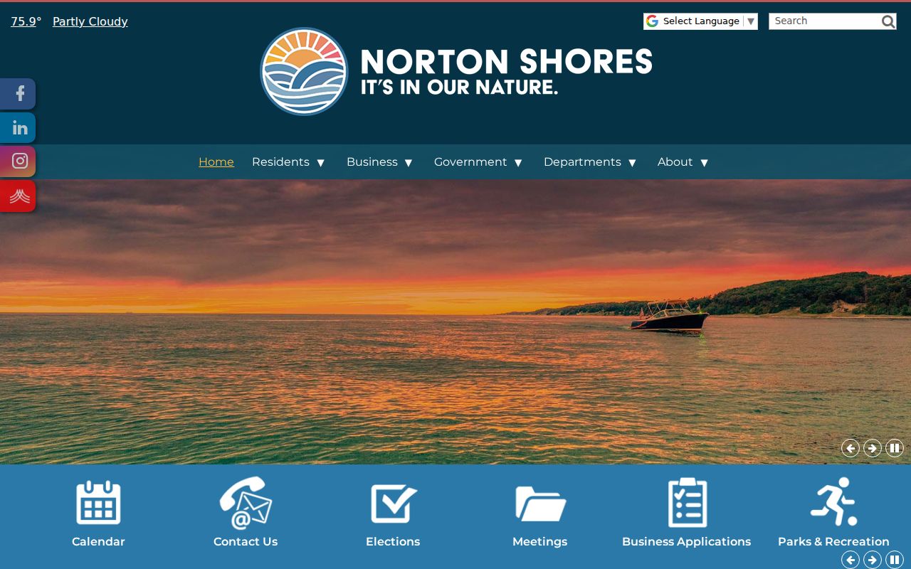
Pair a current parcel result with a dated local source when the question is about how a block changed over time.
Norton Shores Block Record Dates
Records from the same block can point to different time periods. A current GIS parcel entry can contain a present service field, while a directory, newspaper item, Sanborn map, or council packet may describe an earlier condition. Save the retrieval date for an online record and the publication or meeting date for a historical source. If the date is missing, call that out rather than treating the record as current.
Street names, numbers, township labels, and municipal boundaries can also change independently. Norton Township history predates the 1968 Norton Shores city charter, and local research resources include leads for street-name changes and the 1925 Muskegon renumbering. Those headings do not prove that a particular Norton Shores address changed. Compare an old address with intersections, parcel legal description, lot shape, and dated map evidence before joining it to a current block.
This date-first approach also keeps an owner record, an association-maintenance page, and a historical place reference in their proper lanes.
Norton Shores Neighbors Privacy Limits
Michigan’s public-record rules are not a license to assemble private household profiles. Voter data withholds sensitive fields, courts suppress or exclude protected categories, and a parcel record may identify an owner while saying nothing reliable about occupancy. The Michigan Address Confidentiality Program provides qualifying survivors with a substitute address and mail forwarding. Never seek, share, or try to resolve an ACP participant’s actual address.
Keep the source type and date next to every fact. City 2021 registered-business material is a dated business snapshot, not a resident roll. A planning item or association page is likewise a limited record of a public matter or maintenance structure.
Lawful personal use. Use Norton Shores neighbor records for legitimate geographic, civic, or family-history research, and never use them to stalk, harass, intimidate, or harm anyone.